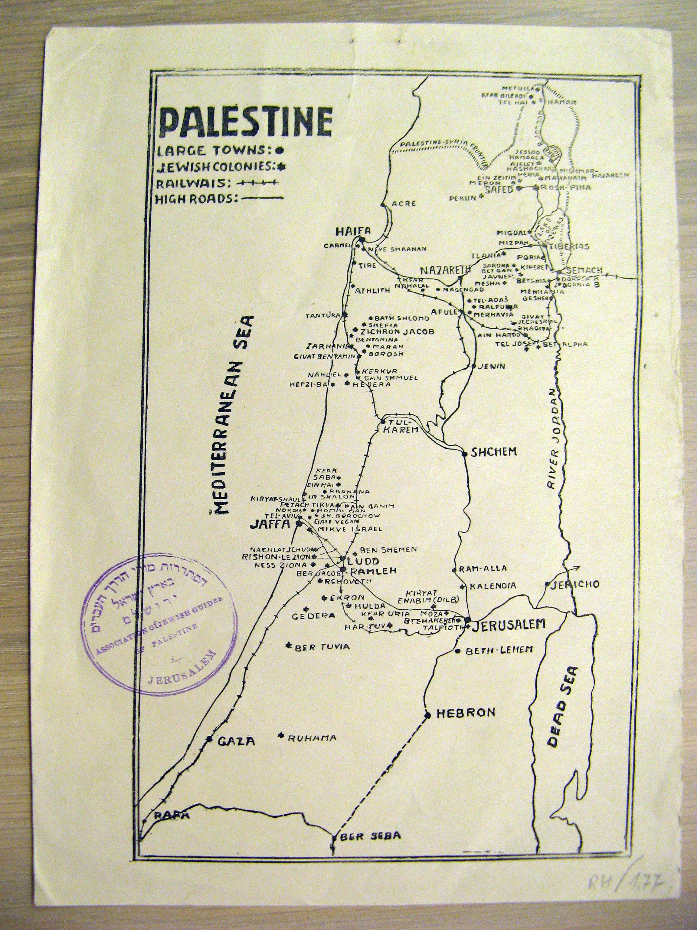
Map of Jewish Settlements and Transportation (c. 1930)  


Description
A small, low-detail map of Jewish settlements, colonies and cities in Palestine. Circa 1930. Includes major roads and railways. The map is stamped by the Association of Jewish Guides of Palestine.
Price $100.00
(Price does not include Shipping Costs!)
Catalog Index Number XT 009

Image Gallery
(Click an image to enlarge)


View more books, in related categories:
Maps & Cartography
Maps of the Holy Land

 
Homepage     About us     Advanced Search     Contact Us     Help!

6 Shatz St. (26 King George st. corner) Jerusalem
Near the Artists' House and Betzal'el Academy

E-mail: info@bookgallery.co.il

TEL: +972-2-6231087 (02-6231087)

FAX: +972-2-6255513 (02-6255513)